Best Apps for Hiking and Outdoor Activities
Hiking and outdoor activities: a world to discover thanks to itinerary apps and more
Fresh air, mountains and freedom. If you too live by these fundamental principles, you can't but love activities such as hiking and all the different outdoor disciplines. Being in nature keeps you in shape with fun sports, refreshes the spirit, and gives you an extra burst of energy. When engaging in outdoor activities such as walking, running, trekking and hiking, it is essential to inform oneself beforehand about the routes to follow, especially if they are unfamiliar or isolated. In this regard, hiking apps are a great aid, as they help maintain a sense of orientation to avoid getting lost. We can say that these kinds of apps replace all those tools that have always been used for outdoor activities, such as compasses and maps. But that's not all: they function as actual socials, with which you can share information, photos, videos and routes. It is not complicated to find hiking apps: there is something for everyone online, both free and subscription-based. Together we will evaluate which ones are the best.
Hiking apps: turn your mobile phone into a proper navigator
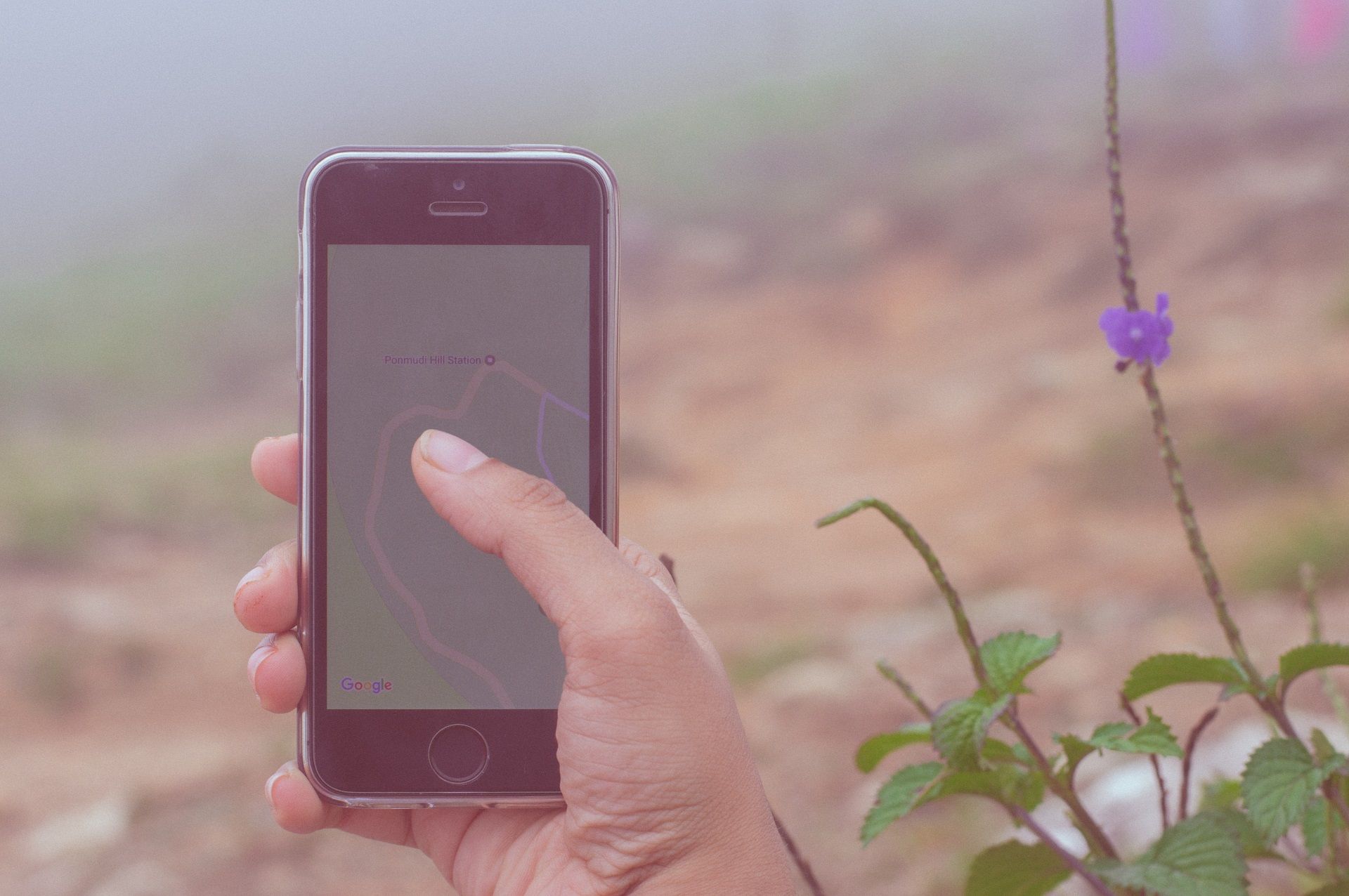
We are not discovering hot water, of course: the smartphone, especially during outdoor activities, does not just take beautiful photographs to keep as memories or to share on social networks but is essential for keeping our orientation and our way along the itineraries we are following or that we have studied and decided on before setting out. In this regard, it is always good to remember to observe the gradient and pitfalls of the route, to make sure you do not find yourself in particular difficulties that your training level cannot manage. Also, always check that you can make emergency calls. But back to us, many apps turn your phone into a proper navigator; among the best we have:
- Wikiloc: Being linked to an interactive site of users who post and describe trails and itineraries, the database is truly immense; consultation is inductive and simple, giving the possibility of choosing one's route by selecting the place of interest. Once the chosen area has been identified, the map proposes a choice of tracks divided according to the type of outdoor activity preferred and by setting one's personal filters (length, altitude difference, etc.), only those that fall within one's interests will appear. Once we have decided on our route, we can select it and view its details as well as photos and descriptions. The free version is clearly quite poor in content; for more in-depth maps , we recommend downloading some paid extension;
- Locus Map: equipped with lots of maps (which can also be used without a connection), it is a very comprehensive app even in the free version, which has a few advertisements without being exaggerated;
- Oruxmaps: hiking app dedicated to the Android system, is rather technical compared to the two we have mentioned before, but with a little experience it is then easy to use and above all allows an incredible variety of functions. Online and offline maps can be consulted, routes can be uploaded and along these tracks, points of interest can be entered and shared;
- Outdooractive: has thousands of trails and tracks; the free version of the app allows the main functions while the pro version allows the more experienced to use official topographies and trail networks. Interesting is the special Skyline function that, through the focus of the camera, recognizes the peaks encountered along the way;
- Komoot: very fun free version application, which not only shows tracks but also allows you to invent and create new routes, navigate the course and record your progress.
Is safety your priority? We discover the outdoor activity apps dedicated to it
In addition to the fundamental knowledge of the routes, an absolutely essential aspect is safety. Especially for newcomers to this kind of activity, it is important to have the support that guarantees safety, not only for storing routes but also for help in case of emergency. In this regard, there are two more technical apps that can be useful:
- Maps 3d pro: it works only on a pay-per-view basis and is equipped with a precision altimeter based on NASA high-definition scans, so maps are very detailed and perfect for reference;
- GeoResQ: is an absolutely wonderful and must-have outdoor activity app for outdoor activities that can really save lives in the event of serious emergencies. GeoResQ only works nationwide and is continuously developed with mountain rescue/speleological rescue. In addition to the traditional storage of tracks and trails, thanks to the constant data connection it is always linked to an operations centre which, in the event of an alarm being. received, geo-localises the phone and sends help.
Very social hiking apps!
And for those who love social networks, there is no shortage of apps that also have as their strong point the sharing and re-sharing of photos, reels, videos and content. After all, in modern society it is impossible to stay out of these circuits; among the most popular we propose:
- My Tracks: has a simple, inductive interface that is based on Google Maps. You can track distance travelled, times and new trails. Interesting is the possibility to copy/paste the URL of the hiking activity done, so you can share it on the main social networks with friends.
- Fatmap: outdoor activities app that has as its main function to generate itineraries and share them, together with captions and experiences, on various social networks.
All that remains to be done is to determine what your app needs are in terms of the outdoor activities you like to undertake, and off you go with the right apps to facilitate your treks. Have fun!